Blog
Data stories, tutorials, and insights from the iipmaps community.
India heatwave days in 2025: 182, down from a record 554
India's heatwave days fell to 182 in 2025 from a record 554 in 2024, but the long trend still points up. State maps, how IMD counts, the 2026 heatstroke toll and the outlook.
Live maps, not screenshots: publish maps that stay correct
A screenshot of a map is right only on the day it was taken. A live map is one map that every page points to, so one fix reaches all of them. Here is when that matters, how it works and what it costs.
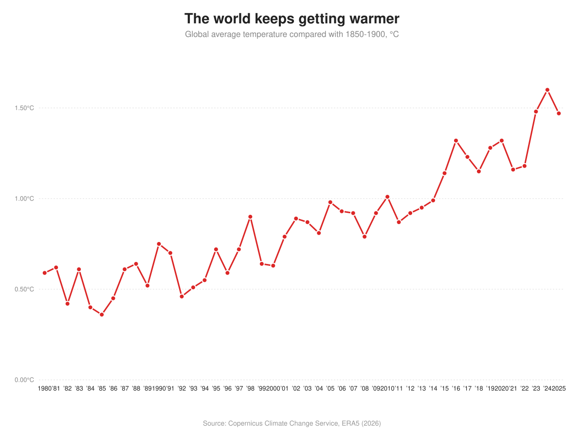
Hottest year on record: 2026 is likely to beat 2024
2023, 2024 and 2025 were the three warmest years on record, and 2026 is on course to beat them all as a strong El Niño builds. Here is the global climate data, and what it means for India.
How to turn IMD's rainfall PDF into a live map that updates itself
A step-by-step tutorial: take IMD's state-wise rainfall PDF, put two columns in a Google Sheet, link the sheet to an India map in iipmaps, and publish one embed code that keeps itself current.

Union Budget 2026: State-Wise Allocation Visualized
A visual breakdown of the Union Budget 2026-27 state-wise allocations. See which states received the most central funding and how it compares across the country.
 Manvendra Vikram Singh·Apr 8, 2026
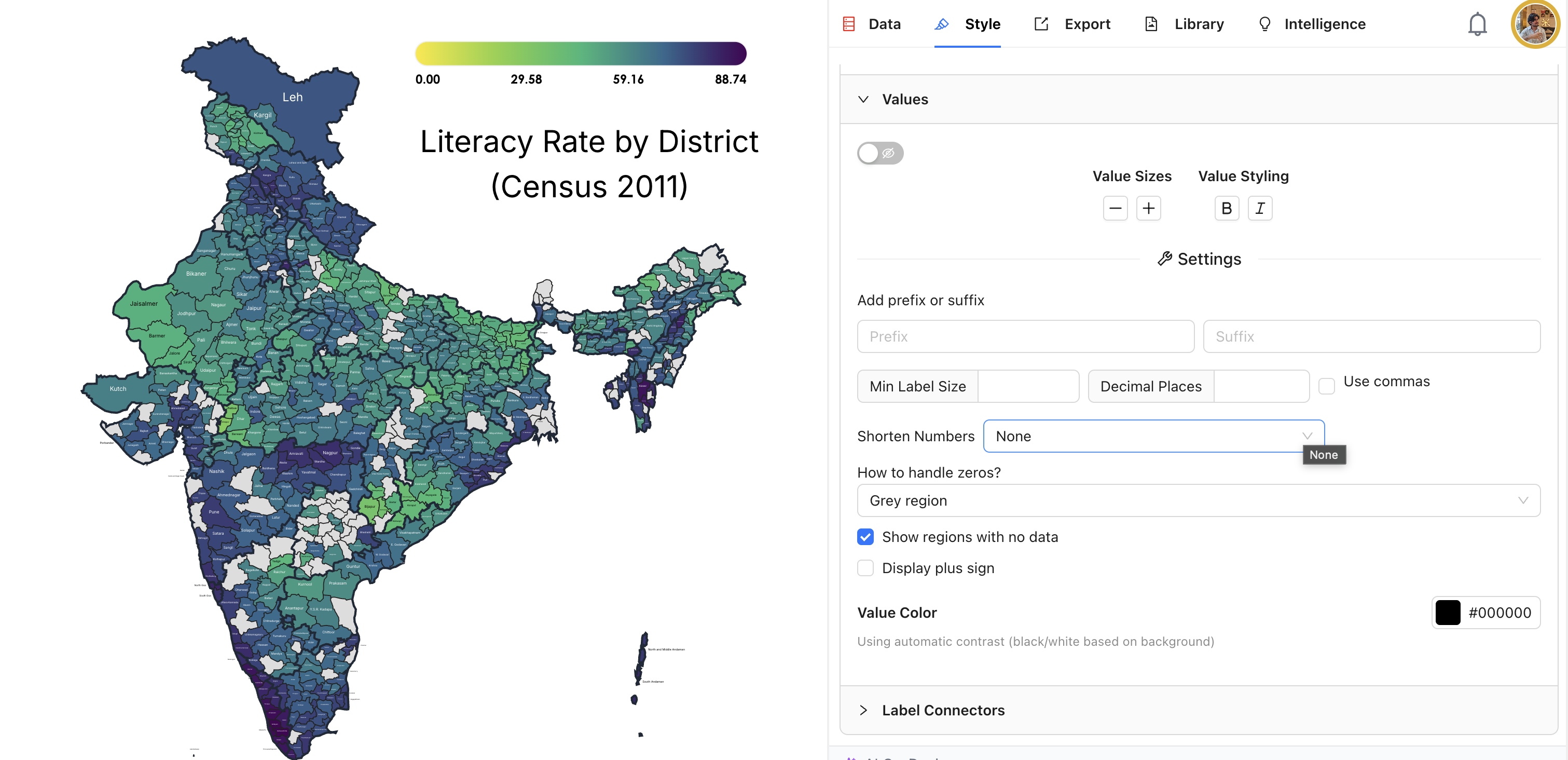
How to Create a District-Level Map of India in 5 Minutes
A step-by-step guide to creating a professional district-level map of India using your own data. No GIS software, no coding, no boundary file uploads just paste your data and go.